Select a Different Region:
View Rides By Interest
Hudson Highlands
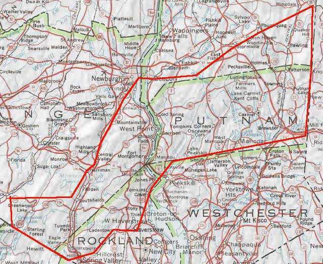
For our purposes, let's define the Hudson Highlands as being only in New York State, bounded on the west by Mt Peter and Greenwood Lake. Running from the west to east on the south would be Sterling Forest/Sloatsburg/Harriman State Park through Little Tor and Anthony's Nose plus the Putnam County high country. The hills of Putnam County would be the border on the east to the Connecticut border. The northerly border on the east would take in the hills above Pawling then across the southern Dutchess County hills to around Beacon east of the river with Storm King on the west side of the river, extending as the ridge east of Route 32 through all of Hariman State Park, Hogback and back to Mt Peter in the west. Although technically the Palisades with Clausland & Hook mountains are the highlands of the Hudson, we will not include them, as the region would get too incestuous for our purposes. That means the Hudson Highlands should be a vigorous day trip from the city, rather than an extension of Nyack. Likewise, the Shawangunks (aka the Gunks) and the Catskills are not in this region. As much as I'd like to add the hills south of Peekskill including Blue Mountain, we will leave Westchester County out of it except for the nebulous northwestern border north of Peekskill Hollow Creek including the Sprout Brook and Gallows Hill which ramp up to Putnam County.
| Name | Level(s) | Distance | Difficulty Rating |
|---|---|---|---|
| Harriman Hill after Hill from Garrison | A | 85 | 5 out of 5 |
| Ashokan Reservoir (without the Gunks) | A, B | 75 | 4 out of 5 |
| West Point via Greenwood Lake | A, B | 75 | 3 out of 5 |
| Sterling Forest Century | A | 101 | 4 out of 5 |
| Poughkeepsie Hippie Loop | A, B | 91 | 5 out of 5 |
| Bear Mtn for everyone - shortest access and for hill repeats | A, B, C | 20 | 4 out of 5 |
| Beacon access Black Rock Preserve via Mtn Rd | A, B | 11 | 3 out of 5 |
| NYC-Little Tor-Buckburg-Storm King-Beacon | A | 71 | 4 out of 5 |
| Greenwood Lake 88.5 | A, B | 89 | 4 out of 5 |
| NYC S Mtn Gate Hill Perkins 9w Storm King Beacon | A, B | 78 | 4 out of 5 |

